Cinematic Capture
4K-ready stabilized footage with full manual control. Color-graded deliverables your editor will actually thank you for.
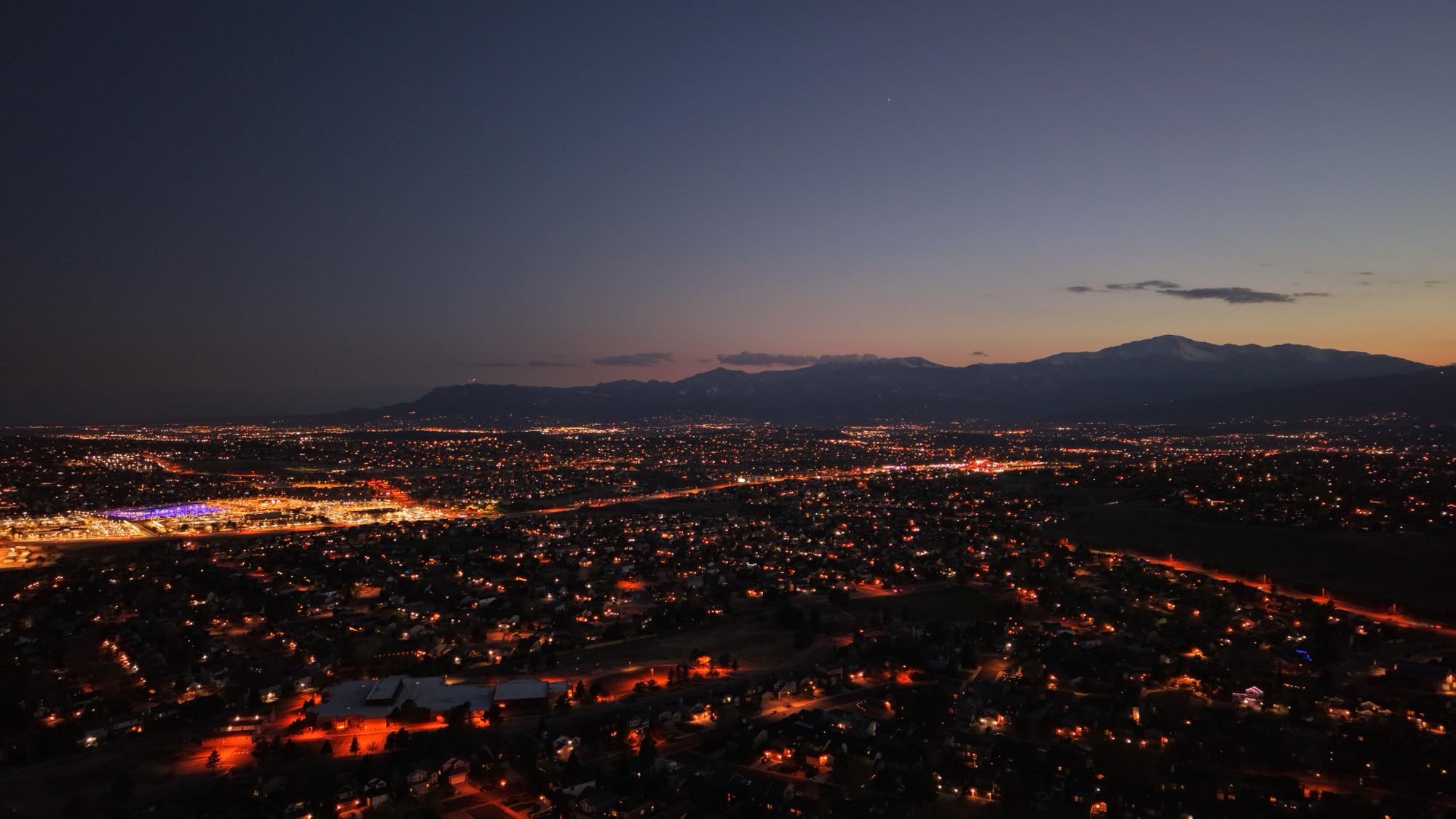
Carbon-grade precision aerial imaging, mapping, and inspection. We put a cinema-quality camera exactly where it needs to be — at altitude, on time, and within regulation.
01 — Capabilities
4K-ready stabilized footage with full manual control. Color-graded deliverables your editor will actually thank you for.
Roof, property, crops, irrigation, and infrastructure.
Listing-ready aerials, and property lines that move properties faster.
Weddings, senior photos, anything you want to preserve in high resolution.
02 — The Platform
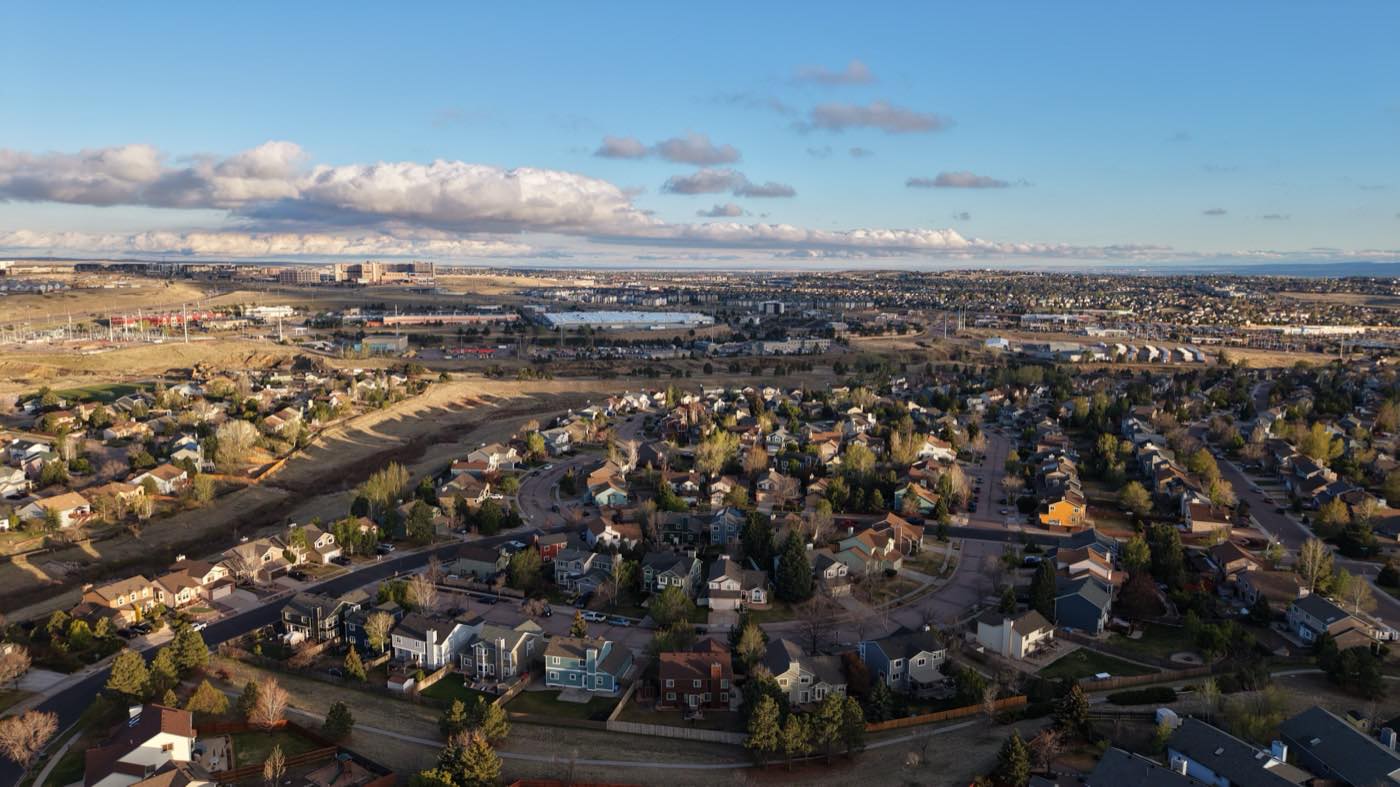
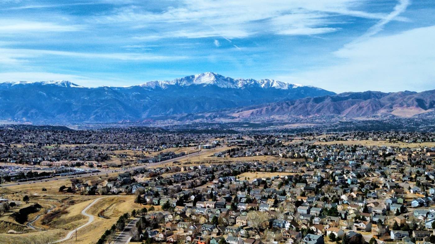
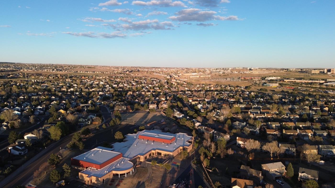
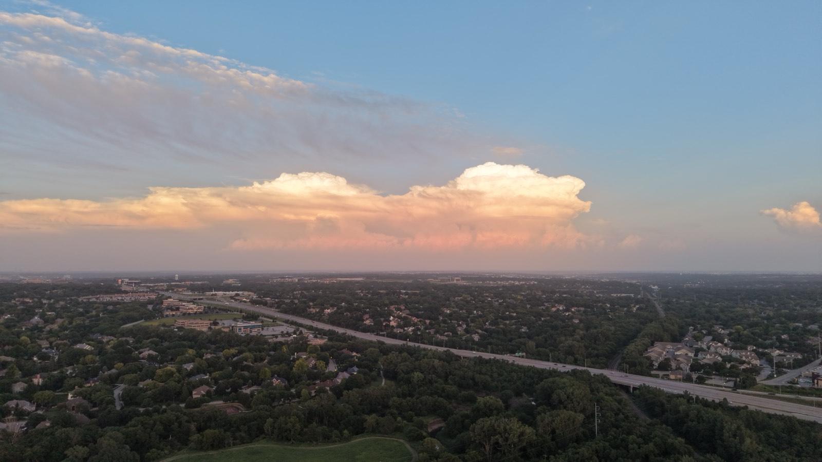
Our airframe pairs a stabilized cinema gimbal with redundant positioning and obstacle sensing. The result is footage and data captured with the steadiness of a tripod — up to four hundred feet in the air (depending on airspace restrictions).
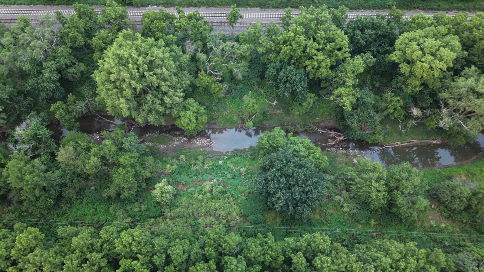
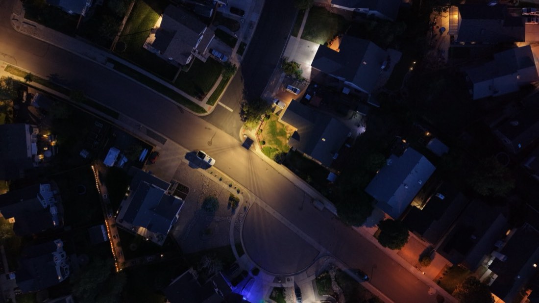 NADIR // 90°
03 — Flight Log

04 — Intel
The questions every client asks before their first mission. Don't see yours? Hail the operator below.
Open a channelPilot is FAA Part 107 certified and there is $1 million in aviation coverage. Certificates of insurance and pilot status are available upon request for your project.
48 hours for raw or basic edited footage, and 3 to 7 business days for advanced color grading, complex maps, or full video edits.
We handle all LAANC authorizations and, when required, file for waivers in controlled airspace. We'll tell you up front whether a site needs additional lead time.
Home base is the Colorado Front Range, but the pilot can travel for regional missions. Quotes are made transparently with no markup games.
You do. Full commercial usage rights to all delivered assets are included with every engagement. We retain a portfolio license unless you request otherwise.
05 — Open Channel
Tell us the mission. We'll respond with a flight plan, timeline, and quote.